We use cookies on our website to ensure you get the best possible experience – they allow us to tailor content specifically to you, analyse our website to help make improvements, and display ads that are applicable to you across other websites. If you’re happy with this, please select “Allow all", or personalise the cookies you allow with “Manage”. Clicking on “Reject non-essential” will remove these cookies, but the site may not function to its best abilities. For more information, please visit our cookie policy
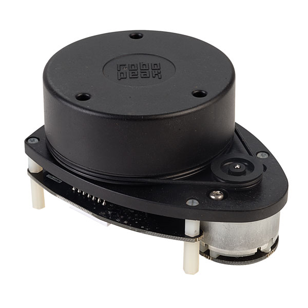
The RPLIDAR is a 2D laser scanner that can perform a 360° scan within a 6m range. The acquired 2D point cloud data can then be used for many applications in mapping, localisation and object/environment modelling. The scanner carries out measurements by triangulation and works well in any indoor environment and outdoor environments without sunlight.
The scanning frequency of the unit is typically 5.5Hz and typical sample frequency is ≥2000Hz. In addition, a speed detection and adaptive system automatically adjusts the frequency of the laser scan according to motor speed. The data output from the unit includes distance, heading, measurement quality and new scan start flag.
Typical applications include: general robot navigation and localisation (e.g. cleaning robot), smart toy obstacle avoidance, environment scanning and 3D re-modelling and SLAM (General Simultaneous Localisation and Mapping).
To make it easier to get started with this scanner, downloads of GitHub repositories, 3D models, Arduino support, applications notes, SDK and documents, release notes, etc. can be downloaded here.